SeasonFSH_THEME.TOUR_SEASON_SUMMER
DifficultyT2
Duration1 h 30 min
Distance3.2 km
Ascent450 m
Highest point2147 m
Track
Map
Loading track ...
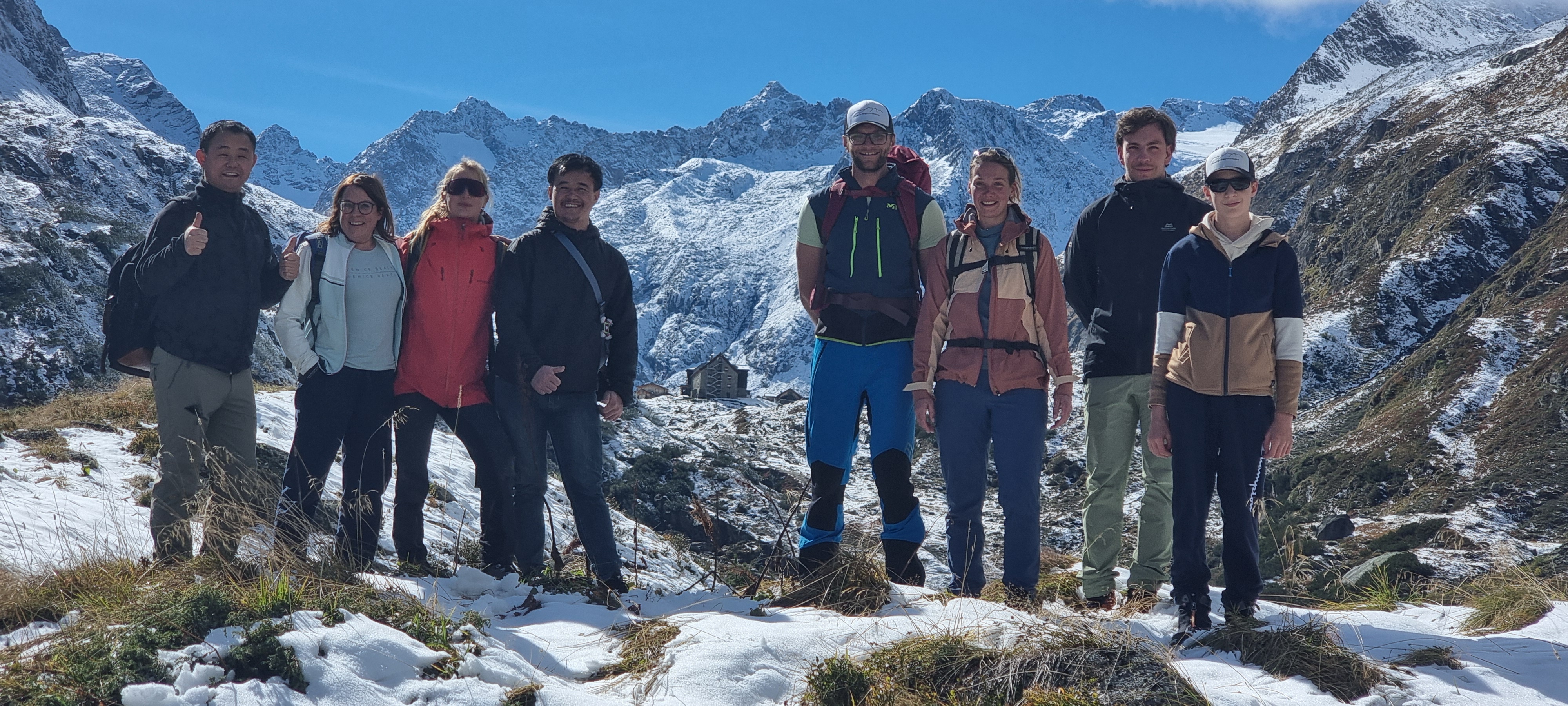
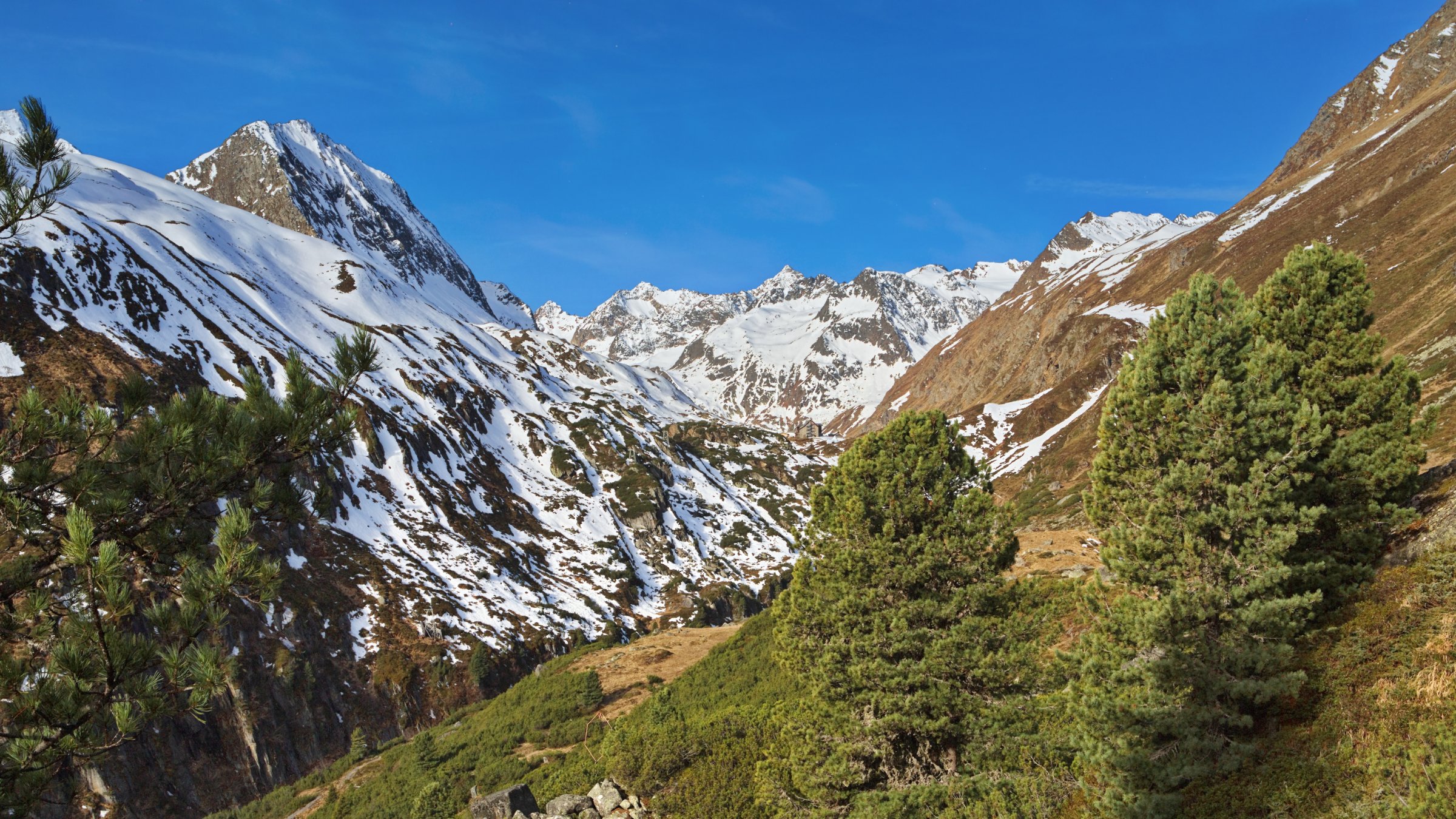
The approach from Oberisshütte initially leads flat along a gravel path through alpine meadows on the right side of the valley. There, the summer trail and the unmaintained winter trail diverge. At the fork, follow the signpost to the right and ascend the mountain via many switchbacks. After about an hour, you reach a plateau where the Alpein Alm is located. Here, the hut can be seen for the first time.
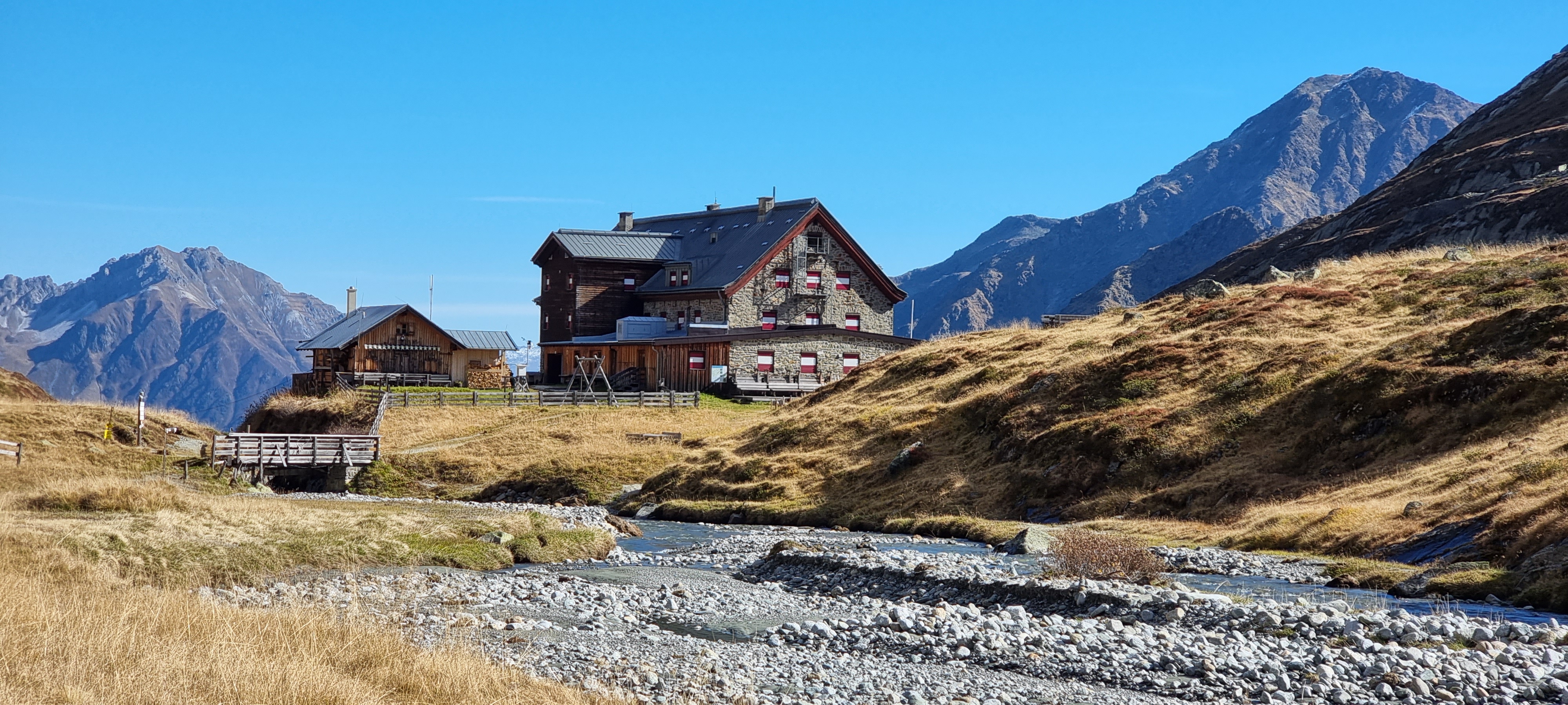
Passing by the Alpein Alm, the path now follows along the Alpeiner Bach to the hut.
Gallery